
How We Carry Out Surveys
A structured, transparent approach that ensures accuracy, timeliness, and client confidence from start to finish.

Initial Consultation
We begin by understanding your project requirements in detail — the site location, survey type needed, purpose, timeline, and expected deliverables. This step ensures we plan the right approach before mobilizing.
- Site briefing and requirement analysis
- Selection of appropriate survey methodology
- Timeline and cost estimation
- Mobilization planning

Field Survey
Our trained surveyors mobilize to the site with the appropriate equipment — Total Stations, RTK GNSS receivers, drones, or leveling instruments. Fieldwork is carried out systematically to capture comprehensive data.
- Control network establishment
- Detail survey using GPS / Total Station / Drone
- Feature coding and attribute collection
- Field checks and verification
Data Processing
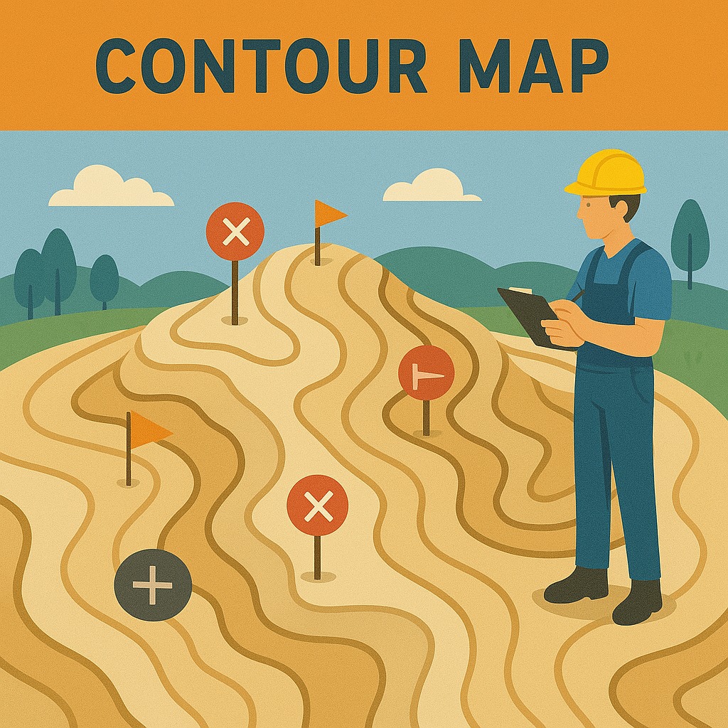
Raw field data is transferred and processed using industry-standard software. Point clouds are filtered, DTMs are generated, contours are computed, and boundary coordinates are finalized with precision.
- Download and backup of raw data
- Processing with survey-grade software
- Generation of DTMs, contours, volumes
- Internal quality review and cross-checks

Report & Delivery
Final survey drawings, reports, and digital models are compiled and delivered digitally. All outputs include metadata, coordinate systems, and a summary report for easy interpretation.
- CAD drawings and GIS exports
- Digital Terrain Models (DTM/DEM)
- Final survey report with methodology
- Client review and sign-off
Equipment We Use
Industry-leading tools for precision data collection
RTK GNSS Receivers
Total Stations
UAV / Drones
Auto Levels
GIS Software
Ready to Start?
Let's Build the Future— on solid ground.
Get in touch with our team to discuss your project requirements and receive a detailed quote within 24 hours.