Contour Mapping
Contour Mapping & DTMs
Understand the shape and elevation of land for drainage, roads, and earthworks.
About This Service
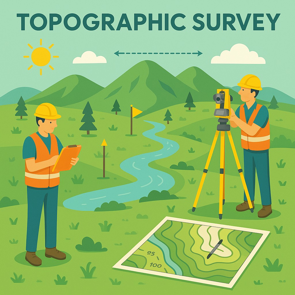
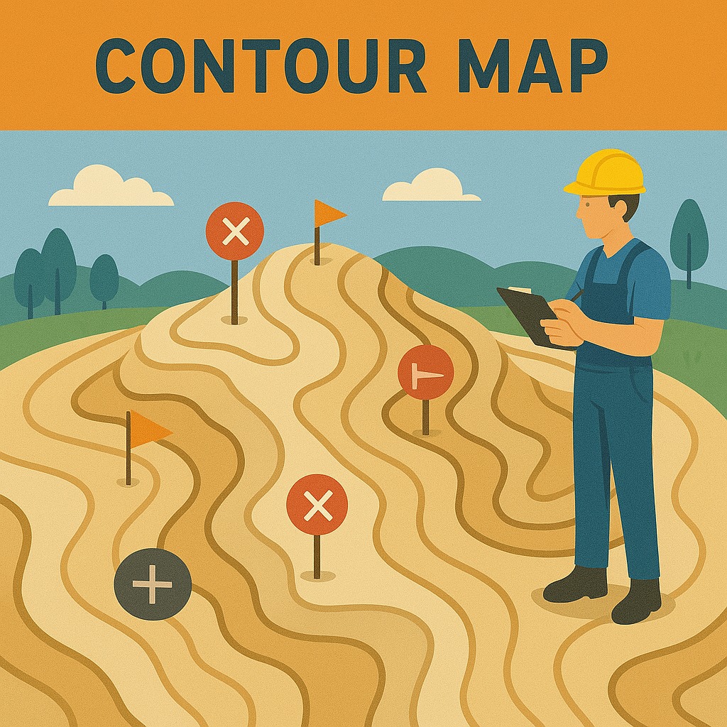
A contour map survey shows the shape and height of the land using lines called contours — each line connects points at the same elevation.
This type of survey helps understand slopes, hills, and valleys of an area. It is useful for planning construction, roads, drainage, farming, and more. The map is made using GPS, Total Station, or drones to measure ground levels precisely, and then processed into Digital Terrain Models (DTMs) for engineering design.
Where It's Used
Construction and road planning
Drainage system design
Irrigation and canal planning
Agricultural land management
Urban master planning
Key Features
- Contour lines at specified intervals
- Digital Terrain Model (DTM)
- GPS, Total Station, or drone data
- Slope and aspect analysis
- Civil 3D and GIS delivery
Need This Survey?
Contact our team for a site-specific consultation and cost estimate.
Request a Quote