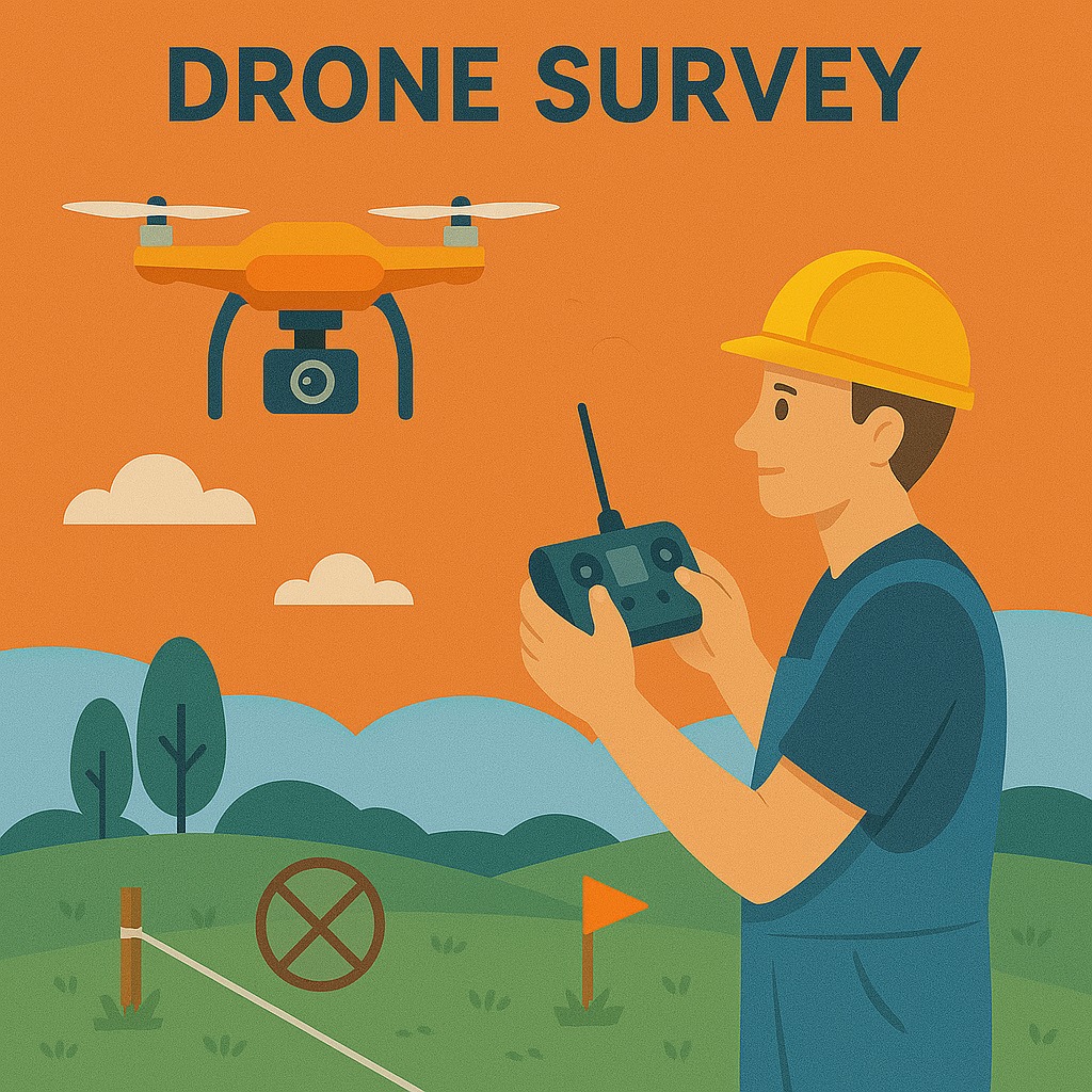
Drone Mapping
Drone Mapping & Aerial Surveys
Smart aerial mapping — fast, precise, and safe even in hard-to-reach areas.
About This Service
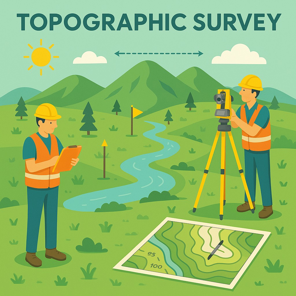
Drones equipped with high-resolution cameras are a game-changer in topographic surveys. They offer fast and accurate land measurements, high-quality aerial imagery, and safe surveying in hard-to-reach or risky areas.
When human access is tough, drones make surveying easier, faster, and more precise. We use professional-grade UAVs with precise geo-referencing to deliver ortho-mosaic imagery, 3D point clouds, and digital terrain models at centimetre-level accuracy.
Where It's Used
Aerial imagery capture
Hard-to-reach area surveys
Large-area topographic mapping
Mining stockpile volumes
Rapid site assessment
Key Features
- High-resolution camera UAVs
- Centimetre-level geo-referencing
- 3D point cloud generation
- Ortho-mosaic imagery
- Safe access to risky terrain
Need This Survey?
Contact our team for a site-specific consultation and cost estimate.
Request a Quote