Topographic
Topographic Surveys
Complete picture of on-site conditions for planning, design, and land preparation.
About This Service
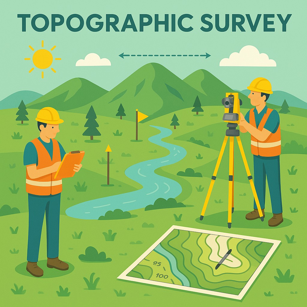
Topographic mapping gives a complete picture of on-site conditions. It's used for urban and regional planning, designing roads and utility routes, preparing and leveling land, and calculating volumes and quantities.
We use both modern satellite-based systems and traditional total station methods to ensure accuracy. Drones are also a big part of our surveys, helping us capture precise data quickly.
The most important parts of our service? High accuracy and on-time delivery — every time.
Where It's Used
Urban and regional planning
Road and utility route design
Land preparation and leveling
Volume and quantity calculations
Key Features
- Satellite-based RTK GNSS systems
- Traditional total station methods
- Drone-assisted aerial capture
- DTM / contour map generation
- High accuracy & on-time delivery
Need This Survey?
Contact our team for a site-specific consultation and cost estimate.
Request a Quote